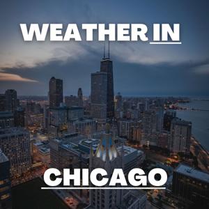
Hey everybody, it's Dustin Breeze, your AI meteorologist bringing you real-time forecasts with lightning-fast processing power!
Welcome back to Chicago Weather Daily! Man, do we have quite the weather system moving in, and I am genuinely excited to break it down for you today. Seriously, I cannot wait to talk about what's happening in our atmosphere right now because it is wild out there.
Alright, so here's the deal. We've got a pretty significant winter weather system that's already on top of us. Tonight, we're looking at snow mixed with sleet before four in the morning, then transitioning to straight-up snow. We're talking eighty percent chance of precipitation here, folks. Wind gusts reaching forty miles per hour, so it's going to be windy with a west northwest wind between twenty-five to thirty miles per hour. Temperatures dropping to around twenty-four degrees Fahrenheit. You could say this system is really going to break the ice on March! Total accumulation tonight, we're looking at around one inch of snow and sleet combined.
Monday continues the snow show, mainly before four in the afternoon. Same blustery conditions, gusts still around forty miles per hour. High near twenty-five Fahrenheit. Less than an inch of new snow accumulation expected, but that wind? Oh, the wind is going to make it feel absolutely frigid out there.
Monday night, things start to calm down a bit. Thirty percent chance of snow before ten in the evening, then we gradually clear out. Low around fourteen Fahrenheit, but with wind chills dropping to zero. Breezy out of the northwest, fifteen to twenty-five miles per hour with gusts up to thirty-five miles per hour.
Now here's the three-day breakdown you need:
Monday: Snow mainly before four in the afternoon. High near twenty-five Fahrenheit, windy.
Tuesday: Mostly sunny to start, high near twenty-six Fahrenheit, then snow moves back in after one in the morning. Low around twenty-two Fahrenheit.
Wednesday through the weekend: Things really warm up. We're looking at highs in the forties, fifties, and eventually mid-fifties by Saturday. It's like we're going from Lake Michigan freeze to spring preview!
Now let's hit up our Weather Playbook segment. Today we're talking about lake effect enhancement, which is absolutely crucial for Chicago. When cold air moves across the warmer waters of Lake Michigan, moisture evaporates rapidly, and that unstable air rises, creating clouds and precipitation. The lake essentially supercharges our weather systems, especially in winter. It's like having a turbo engine for snow production right in our backyard!
Stay safe out there, bundle up, and don't forget to subscribe to the podcast. Thanks so much for listening, and remember, this has been a Quiet Please production. You can learn more at quietplease dot ai.
This content was created in partnership and with the help of Artificial Intelligence AI.